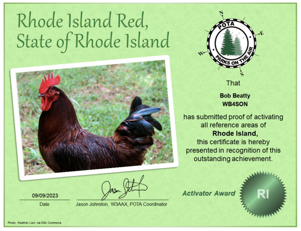
I started working POTA right before the pandemic, and have continued on. I had managed to work 51 of the 52 parks in Rhode Island, and had activating Block Island as my goal for 2022. Things didn’t work out last year, so it went back on the list of goals for 2023.
My club, Newport County Radio Club, decided to sponsor a “Work All RI POTA” event from September 6 through the 10th. Prolific activators from all over the country descended on little RI, to activate all 52 of our parks. Thanks to some incredibly wonderful assistance from Willy W1LY, a fellow club member, we planned to activate Block Island on September 7th.
For those not familiar, Block Island sits in the Atlantic Ocean, about 15 miles south of Rhode Island. Unless one is an Olympic Swimmer, folks usually take a ferry from Point Judith to Old Harbor. The trip is 19 miles by sea, and takes almost exactly an hour from dock to dock. As a reference, a round trip for a full size van/truck and two adults is about $140. Book weeks in advance during the summer to ensure you get a reservation.
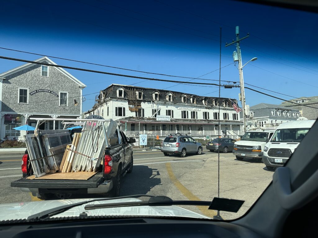
Willy picked me up in his camper van (all the comforts of home, except for a water closet) at 6:40 AM, as vehicles are required to arrive at least an hour before departure time. We were underway about 8:30 AM, and at the dock on The Block by 9:30. For those RI natives, we know that there are many 100+ year old hotels and homes on the island. Sadly about two weeks ago, the Harborside Inn burned. This is what greeted us as. we were waiting in line to leave the ferry:
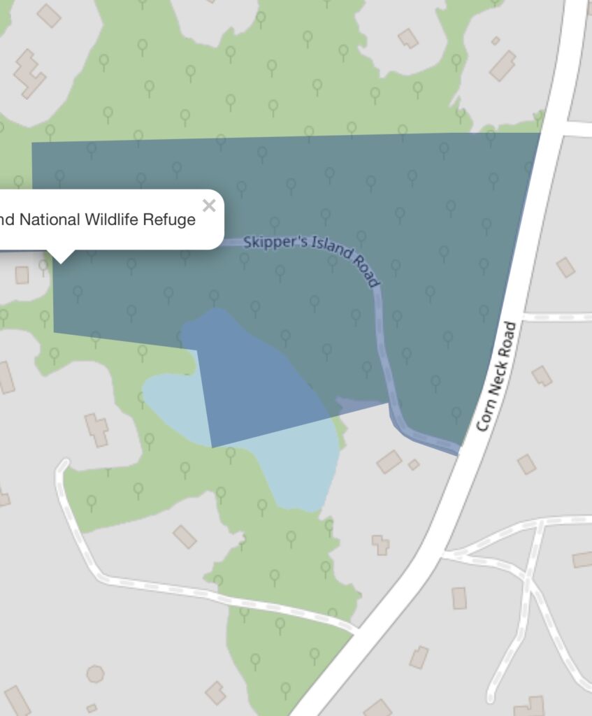
Prior activators of the Block Island National Wildlife Refuge (K-0513) complained of difficulty finding a place to access the refuge, which isn’t surprising as it was made for animals and not people. Most would go to the town transfer station, near the northern tip, and activate from that parking lot, but it was never clear that the parking lot was actually within the park boundary. Some map sleuthing indicated that there was a road that cuts right through the middle of one of the sections of the park (the park is made up of a bunch of isolated sections, not one continuous piece of land). I’ve included a section from the US Fish and Wildlife map below that shows that Skipper’s Island Road, a left turn off of Corn Neck Road, passes through the refuge (slate blue color). The road is made up of crushed sea shells and is in good shape, probably because it services a few homes.
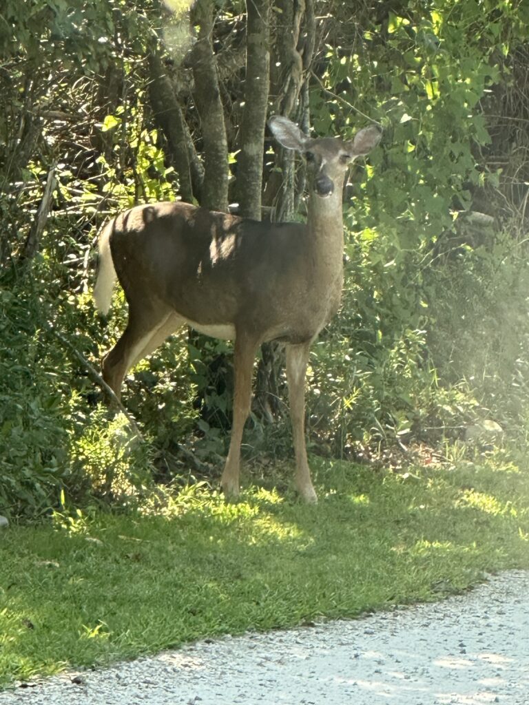
Sure enough, we caught the attention of some of the wildlife:
We were set up and making contacts by 10:15 AM local time (14:15 UTC). Willy W1LY was on 40 meter SSB using an end fed wire in an inverted-V configuration held up by a jack-kite pole. I ran 20 meter CW, feeding a mag-mounted 17 foot whip on top of the van. We had a dry run the prior weekend at another park and were pleasantly surprised to find that we did not interfere with each other, despite the antennas being within feet of each other.
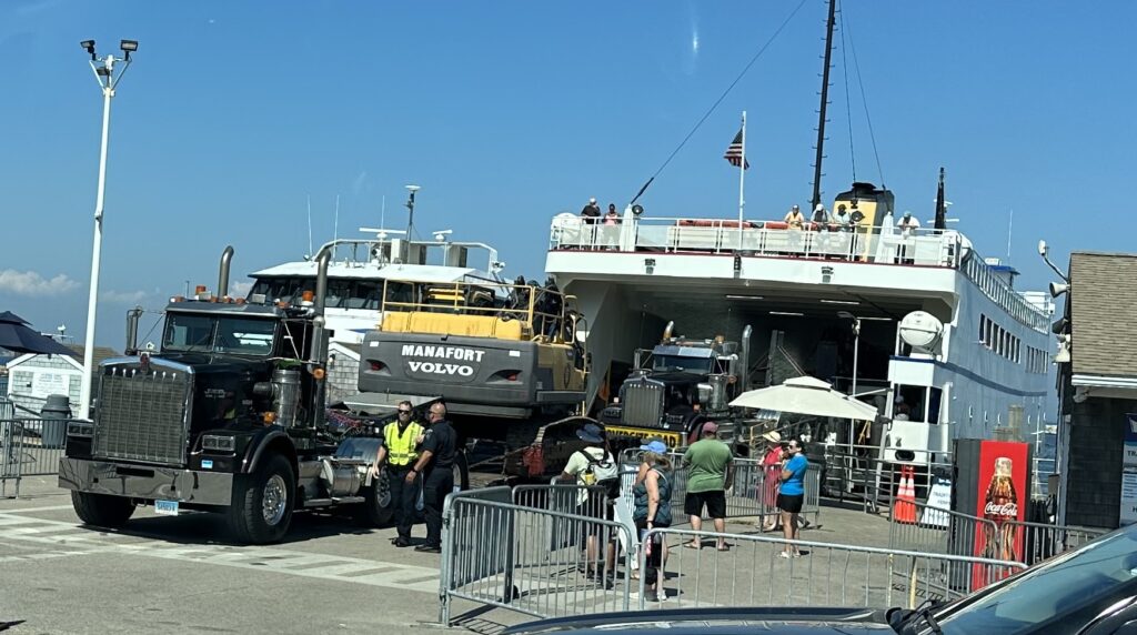
We took a lunch break in the middle and swapped bands. When we wrapped things up at 1:45 PM, we had just enough time to get back to the ferry dock by 2 PM. Willy had 104 Qs on SSB, and I had 52 on CW. As we were waiting to board the ferry for our 3 PM departure, there was another reminder of the tragic fire – demolition equipment was being offloaded from the ferry. By this time next week the Harborside Inn will be nothing more than an empty lot and fond memory.
Thanks to Willy W1LY, I’ve now activated all the parks in Rhode Island!

